Sketching the Holy Land
Milka Levy-Rubin

In 1872, Claude Reignier Conder (1848–1910), a twenty-four-year-old surveyor, draftsman, and lieutenant in the British Corps of Royal Engineers, arrived in the Holy Land. Conder was commissioned to continue the recently begun survey of Palestine that had been initiated by the Palestine Exploration Fund, an organization devoted to the scientific research of the Holy Land. Together with his fellow officer Horatio H. Kitchener — who was to become the renowned British secretary of war during World War I — Conder produced an ordnance survey of Palestine on twenty-six sheets in just three years.
These were tumultuous times. The Ottoman Empire was declining, and Western powers, driven by military and economic interests, sought to strengthen their foothold in the East. Western explorers, adventurers, and researchers were roaming this ancient historic stage, eager to discover the secrets of the ancient Near East.
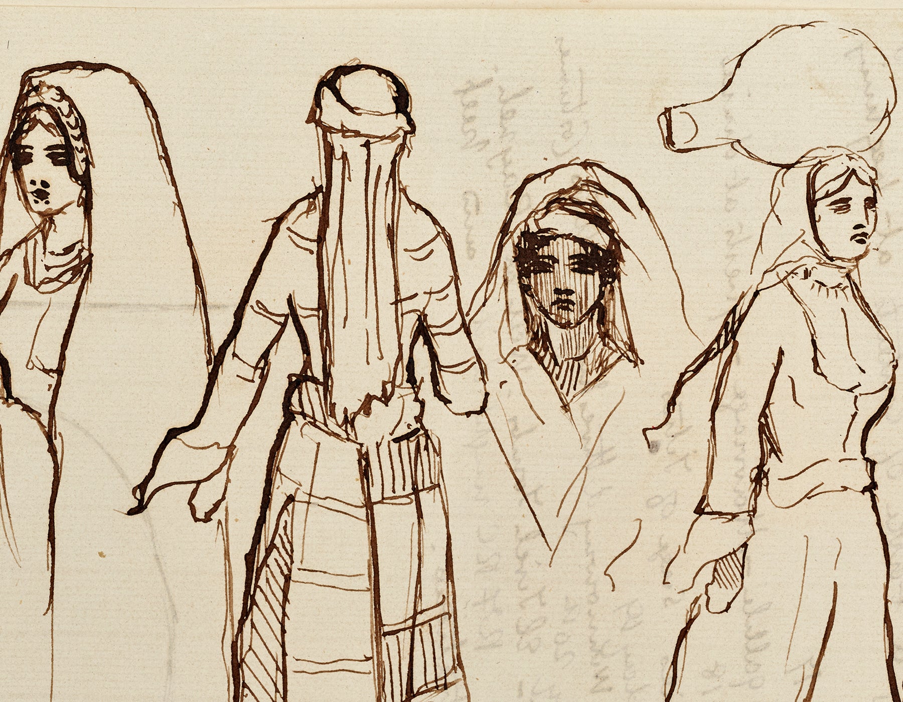
Conder, a well-educated English Protestant, was likewise much intrigued by his encounter with the Holy Land. This scrapbook, put together by Conder’s family and donated to the National Library by his grandson in 1961, contains a wealth of handwritten letters accompanied by beautiful sketches that Conder sent home during his three-year sojourn. These sketches allow us to view Palestine through European eyes, with Arab women drawing water and local Jewish wedding practices embedded in the local landscape.
The letters contain many impressions and anecdotes. They capture his disillusionment with the Holy Land: “Palestine is certainly in parts a rich and fertile and beautiful country…In other parts, it is miserable and the villages and towns are the reverse of picturesque.” They also reflect his high self-esteem and aspirations: “I am…very happy for things are going very well and if it pleases God to take me safe through my three years in Palestine I will make a name on my return which will throw my predecessors in the shade.”


