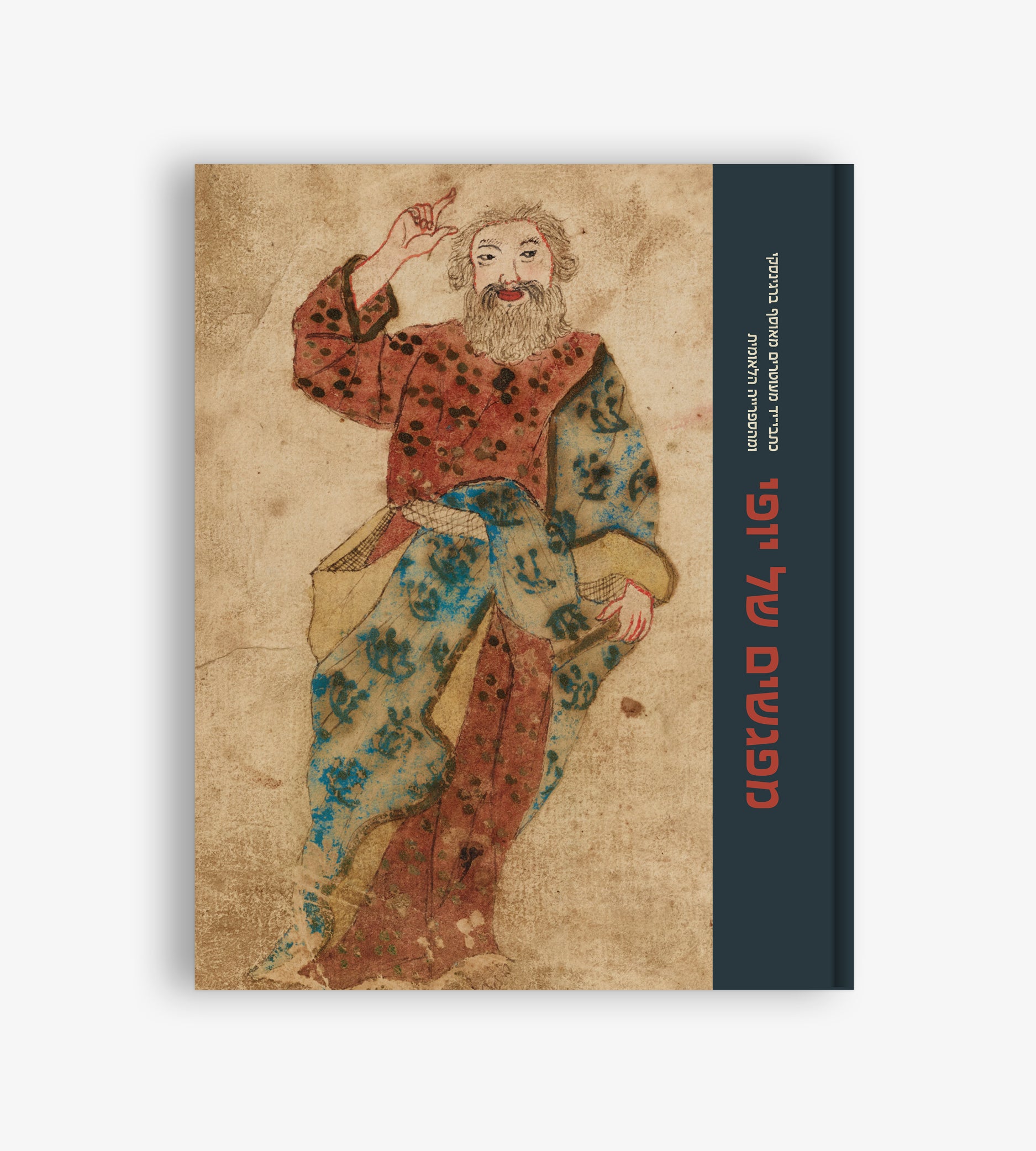
A Cartographic Renaissance
Milka Levy-Rubin

In 1397, at the dawn of the Renaissance, Greek scholar Manuel Chrysoloras (1355–1415) was invited to Florence to fulfill a task that would transform the world of scholarship in the West: to teach Greek and to translate classical Greek books into Latin.
Besides Homer, Plato, and other classics, Chrysoloras also translated Ptolemy’s Geography, a work that was to change the concept of geography. In this large treatise, Ptolemy, a famed geographer in second-century Alexandria, explained different mathematical map projection methods and included detailed lists of toponyms and their locations. The text was probably accompanied by a set of maps, as was the manuscript employed by Chrysoloras. Chrysoloras’s translation was repeatedly copied and printed over the ensuing centuries.
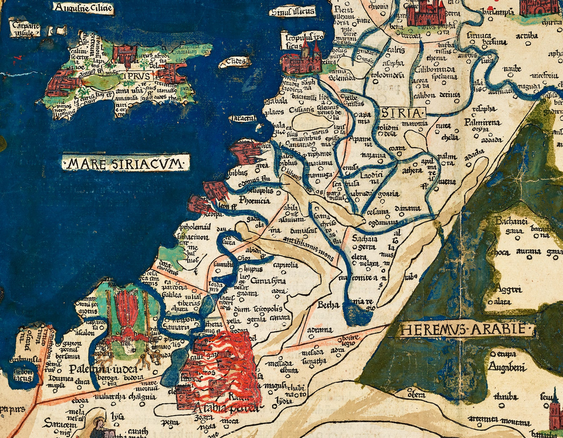
The map of Asia Quarta presented here comes from Reger’s 1486 Latin edition of Geography. It depicts the area between Armenia in the north, Arabia in the south, Cyprus in the West, and Persia in the East. Although it is one of countless exemplars made of the same engraving, this unique copy of the map contains several hand-painted additions portraying important biblical scenes: at the top right, Assyria, Babylon, and the collapsing tower of Babylon; at the bottom left, Moses receiving the Ten Commandments on Mount Sinai, Samson bringing down the pillars of the temple of Dagon, and the burning of the “cities of the plain” (Sodom and Gomorrah) by the Dead Sea.
These exceptional additions represent the inclinations of the painter, who dressed the classical Greek map in the Christian garb of the Holy Land. This encounter between a humanist love of the classics and the edifying Christian tradition was typical of the fifteenth century, when the scientific approach often gave way to tradition. It would take much longer for these old traditions to be fully replaced by the scientific geographical methods that culminated in modern projections and measured maps.


%20was%20invited%20to%20Florence%20to%20fulfill%20a%20task%20that%20would%20transform%20the%20world%20of%20scholarship%20in%20th...)